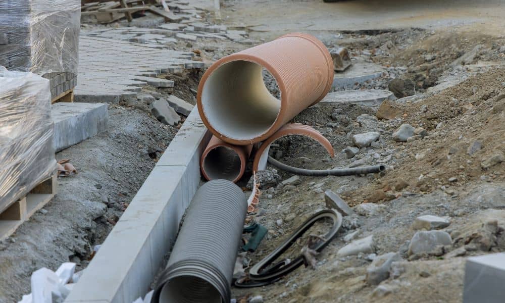
According to the American Society of Civil Engineers (ASCE), minimum pipe sizes are established to ensure reliable long-term performance of public infrastructure. These standards consider peak flows, sediment transport, and future demand, not just present conditions.
Smaller pipe diameters may function initially but are more prone to blockage and capacity loss over time. According to the U.S. Environmental Protection Agency (EPA), properly sized wastewater and stormwater systems reduce the risk of backups, overflows, and premature failures.
Similarly, the Federal Highway Administration (FHWA) notes that conservative sizing improves system reliability and reduces long-term maintenance burdens for publicly maintained infrastructure.
Minimum pipe size requirements help cities protect public investment while ensuring consistent system performance throughout the infrastructure lifecycle