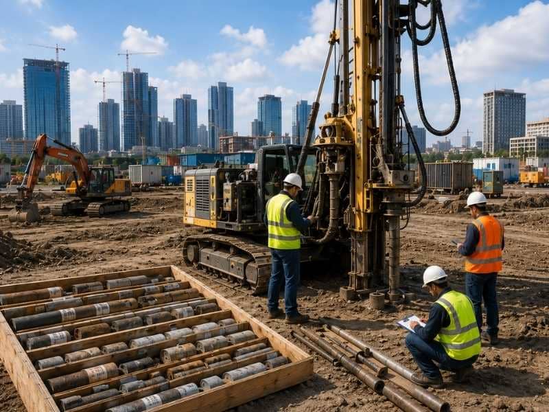
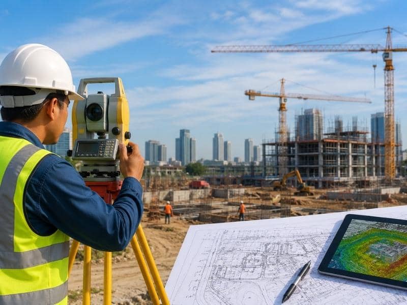
According to Wikipedia, surveying is the science, technique, and profession of determining the terrestrial or three-dimensional positions of points and the distances and angles between them. It plays a fundamental role in civil engineering by providing accurate measurements that are used to create maps, establish property boundaries, and guide the planning, design, and construction of infrastructure such as roads, bridges, railways, pipelines, and buildings.
Modern surveying uses advanced equipment, including theodolites, levels, total stations, electronic distance measurement (EDM) devices, Global Positioning System (GPS)receivers,and laser scanners, to collect precise data about the Earth’s surface. This information is processed into maps and digital models that engineers, architects, and contractors rely on throughout the construction process.
Surveying is commonly divided into land surveying and construction surveying. Land surveying focuses on determining legal property boundaries and preparing cadastral maps for land ownership and development. Construction surveying, on the other hand, involves setting out the positions and elevations of structures to ensure that projects are built according to engineering designs and specifications.
Overall, surveying is an essential component of civil engineering because it ensures the accuracy, safety, and efficiency of construction projects while helping to prevent costly errors during planning and execution.